T-MTS, the tool by the tour professional
Learn more Demo versionContribute to the success of T-MTS by becoming a partner
Agencies in the toursm sector, watch out! You have recognized the potential of T-MTS, you want to contribute to the success of the product and want us to share our T-MTS earnings with you? Then we are pleased to entrust our product to you.
Interested? Please don't hesitate to contact us for further information or a counselling interview.
Features
- simple handling
- intuitional data input
- 100% responsive integration on the current website
- shortest load time
- comprehensive search function
- tours can be classified
- level of difficulty is marked with different colours
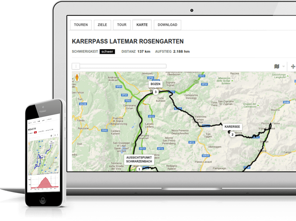
- distance marker and altitude profile with gradient in %
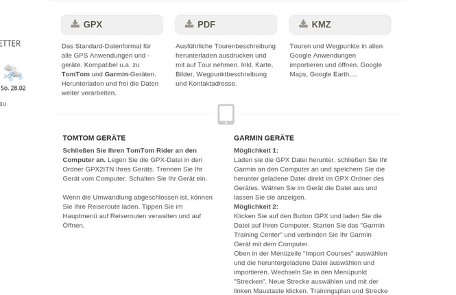
- possibility to download and print tours as pdf file
- illustration of tours on street map, saltellite map, open country, detailled map, cycling and hiking paths, nature map, bus and train maps
- street view
- tour weather refreshed on a regular basis
- available in different languages
- selected tours can be locked
- tours can be unlocked by code after a completed booking
- extension for secure server connections (https)
One data input - multiple publication
In the editor of T-MTS the tour supplier can easily insert all data and information relevant to a tour, including also highlights, that is to say waypoints. Tour information can be inserted in more languages and can be corrected or changed any time. The T-MTS backend provides an overview on the personal archives as well as tours that are still available. Very easy is also the creation of a new tour in more languages. By the way, once a tour is inserted it can be published on different sites.


